Map - Largest U.S. Cities, 1790 - 2017
 Map - Largest U.S. Cities, 1790 - 2017
Description:
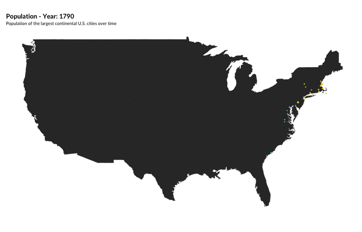
A map of the largest U.S. cities over time. In 1790, the U.S. population was heavily concentrated in the Eastern United States, but this shifted over time. By 2017, Sun Belt cities in the Southeast and Southwest were among the largest U.S. cities.
Details:
A bubble map created in R using the ggplot and gganimate packages.
Simone Roy
Experienced Data Analyst
I am an experienced data analyst with experience in policy, research, and data visualization. I have a background in spatial data analysis and spatial data science.